
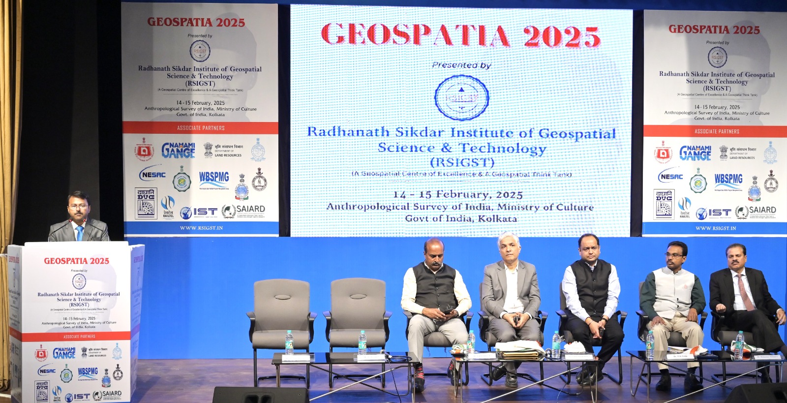
Geospatia 2025, a landmark event in the field of geospatial science and technology, was successfully hosted on 14th and 15th February 2025 at the Anthropological Survey of India, Government of India, Salt Lake, Kolkata.
Organized by the Radhanath Sikdar Institute of Geospatial Science & Technology (RSIGST) www.rsigst.in under the esteemed leadership of its Chairperson, Dr. Biswajit Roy Chowdhury, the event brought together policymakers, industry leaders, researchers, and technology experts to discuss the future of geospatial applications in governance, infrastructure, climate resilience, and disaster management.
With geospatial technology playing a crucial role in national development, Geospatia 2025 served as a significant platform for thought-provoking discussions, cutting-edge advancements, and policy deliberations shaping India’s geospatial ecosystem. The event witnessed active participation and collaboration from various government departments and officials who played a key role in shaping discussions and policy recommendations.
The conference featured several distinguished government officials who have been instrumental in shaping India’s geospatial landscape. Shri Prabhat Kumar Mishra, IAS, Additional Chief Secretary, Department of Finance and Department of Planning and Statistics, Government of West Bengal; Shri D. Nariala, IAS, Additional Chief Secretary, Department of North Bengal Development, Government of West Bengal; Mr. Kunal Satyarthi, IFS, Joint Secretary, Department of Land Resources, Ministry of Rural Development, Government of India, and Dr. M.K. Stalin, Additional Surveyor General of India, Survey of India, Government of India. Their presence underscored the commitment of various state and central government bodies to the advancement of geospatial technology in governance.
Other eminent government dignitaries who participated included Dr. Mrutyunjay Mohapatra, Director General, India Meteorological Department, Government of India, shared valuable insights into the integration of geospatial technologies in land governance and disaster management. Mr. Vibhu Goel, IAS, Director, DLRS and Joint Land Reform Commissioner; Chief Executive Officer, Webel Technology Ltd, Government of West Bengal, participated in discussions on the future of digital mapping and smart governance.
One of the most significant highlights of Geospatia 2025 was the one-day round table workshop on NAKSHA, which was the first workshop of on NAKSHA organized by the Department of Land Resources (DoLR), MINISTRY of Rural Development , Govt. of India in partnership with RSIGST held on the first day of GEOSPATIA2025.
This workshop aimed to sensitize the Eastern & North Eastern States about the objectives, scope, and implementation of the NAKSHA initiative. This was held under the leadership of Mr. Kunal Satyarthi, IFS, Joint Secretary, Department of Land Resources, Ministry of Rural Development, Government of India, who contributed to deliberations on leveraging spatial data for rural development and infrastructure planning.
NAKSHA is a pioneering program utilizing geospatial mapping, and advanced GIS applications to transform land governance in India. With a focus on land record modernization, real-time cadastral mapping, and rural development, the initiative seeks to address long-standing challenges such as land disputes, encroachment, and inefficient land use planning.
The round table discussion brought together government officials from both eastern and north-eastern states, land resource experts, and technology leaders to explore strategies for implementing NAKSHA in the North Eastern states, where geographical and infrastructural challenges make land management particularly complex. The workshop outlined a roadmap for utilizing high-resolution satellite imagery, drone surveys, and GIS-powered digital land records to enhance transparency, efficiency, and equity in land administration.
The Radhanath Sikdar Memorial Award 2025 was presented to Mr. Ashish Lahiri, author and researcher on Sir Radhanath Sikdar and Senior Fellow of RSIGST, and Dr. Mrutyunjay Mohapatra, Director General, India Meteorological Department followed by The Geospatia Leadership Award 2025 was conferred upon the Department of Land Resources, Ministry of Rural Development, Government of India, while the Geospatia Excellence Award 2025 was awarded to the National Atlas and Thematic Mapping Organisation (NATMO), Indian Institute of Remote Sensing (ISRO), and iSpatial Techno Solutions Inc.
Beyond being a hub of intellectual exchange, Geospatia 2025 also celebrated India’s rich cultural heritage. Attendees enjoyed an exquisite Cultural Performance featuring Classical instrumental Music, where artists showcased the timeless traditions of Indian classical compositions, creating an ambiance of artistic excellence and cultural appreciation. The gathering brought together government dignitaries, corporate leaders, researchers, and technology pioneers, fostering meaningful conversations and future collaborations in geospatial science and technology.
With its comprehensive agenda, world-class speakers, and insightful discussions, Geospatia 2025 proved to be a game-changing event in India’s geospatial landscape. The conference not only highlighted the latest technological advancements but also provided actionable insights on harnessing geospatial data and analytics for national growth, environmental sustainability, and effective governance.
(Edited by Ms.Pratyusha Mukherjee, Sr. Broadcast Journalist, British Media & Editorial Head of Defence, Sports and Current Affairs, NE India Broadcast)